

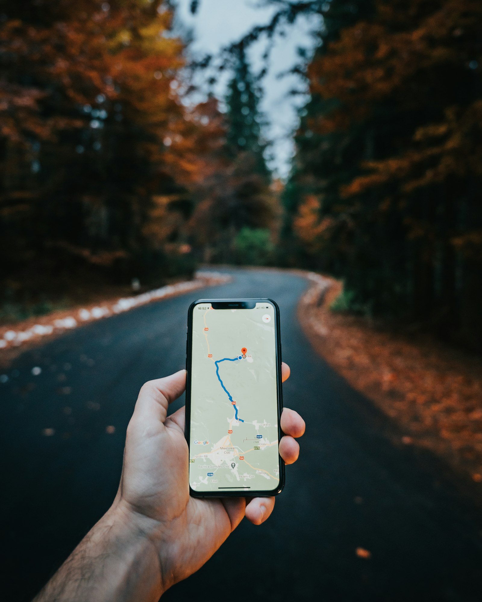
Your phone has never sent a single message to a GPS satellite. It cannot. The system is a one-way broadcast: satellites keep announcing where they are and what time it is, and your device quietly listens. Understanding how GPS works comes down to that one idea, and it explains both why the technology is free to use and why it struggles in tunnels and city canyons.
The Satellite Constellation
According to the U.S. government’s GPS.gov space segment page, the satellites fly in medium Earth orbit at an altitude of roughly 20,200 kilometers (12,550 miles), and each one circles the planet twice a day. They are arranged in six orbital planes, with slots spread so that users can see at least four satellites from virtually anywhere on Earth.
The government commits to keeping at least 24 operational satellites available 95 percent of the time. In practice more are flying, and the same page notes the constellation has effectively operated as a 27-slot layout since 2011. Note that parts of that page are dated, so treat any specific satellite count you read there as a snapshot rather than today’s number.
How Your Phone Finds Its Position
Each satellite carries an extremely precise clock and continuously transmits a signal stamped with its position and the time of transmission. Radio waves travel at a known speed, so when your receiver compares the stamped time with its own clock, it can work out how long the signal took to arrive, and therefore how far away that satellite is.
One distance only tells you that you are somewhere on a sphere around that satellite. Add a second and you are on a circle where two spheres intersect; a third narrows it to two points, one of which is usually absurd, such as far out in space. The practical catch is that a phone’s clock is nowhere near as accurate as a satellite’s. A fourth satellite lets the receiver solve for that clock error as well as for latitude, longitude, and altitude, which is why four satellites is the working minimum for a full fix.
Why Accuracy Varies
GPS.gov’s accuracy page is careful about what the system promises. The standard commits to a worst-case signal-in-space accuracy of 7.8 meters at 95 percent confidence, and the page stresses that this is not the same as the accuracy a user sees. It adds that FAA data show high-quality receivers reaching better than 2.168 meters horizontal accuracy 95 percent of the time.
The page also lists what affects real-world results: atmospheric effects, sky blockage, and receiver quality. Tall buildings are the classic trouble spot because signals bounce off glass and concrete before reaching you, so the receiver measures a path longer than the straight line. That bounce is called multipath, and it is why the blue dot on a map sometimes drifts onto the wrong street.
There is a historical footnote worth knowing. Until May 2000 the U.S. government deliberately degraded civilian signals using a feature called Selective Availability. Switching it off is what made consumer navigation as good as it is now.
What Phones Add on Top
A phone rarely relies on satellite signals alone. It blends them with nearby Wi-Fi networks, cell towers, and motion sensors to get a faster and steadier fix, which is why a map can place you within seconds indoors even though a satellite lock would be impossible. Many modern receivers also listen to other national systems, including Europe’s Galileo, Russia’s GLONASS, and China’s BeiDou, which gives them more satellites to choose from. Technically, “GNSS” is the umbrella term for all of them, while GPS is the American one.
Where there is no signal at all, phones are increasingly able to fall back on satellites for messaging. We cover that in our guide to satellite texting, which is a different job from positioning. If you want a device built around location, see how Bluetooth trackers combine crowd-sourced networks with short-range radio rather than a GPS chip.
Better Than a Phone: Augmentation
For surveying, farming, and construction, ordinary accuracy is not enough. GPS.gov says augmentation systems can enable real-time positioning to within a few centimeters, and post-mission measurements at the millimeter level. These systems send correction data that cancels out much of the atmospheric error, and they are the reason precision tools work at a different level from a hiking watch. Our roundup of smart wearables shows where consumer devices sit by comparison.
FAQs
Does GPS use my mobile data?
No. Receiving satellite signals needs no data connection and costs nothing. Apps may download map tiles or traffic over mobile data, but the position fix itself comes from the satellites.
Why is GPS less accurate indoors?
Satellite signals are weak and are blocked or reflected by roofs and walls. Phones compensate by using Wi-Fi and cell-tower data, which gives a rough position but not a precise one.
How many satellites does a GPS receiver need?
Four for a complete fix, because the fourth lets the receiver correct its own clock error. With fewer, a device can sometimes estimate a position by assuming your altitude, but the result is less reliable.
Is GPS the same as GNSS?
Not quite. GNSS is the general term for satellite navigation systems, while GPS is the specific American one. Most current phones can use several systems at once.
Who operates GPS?
GPS is a U.S. government system. GPS.gov describes it as operated by the U.S. government, and civilians around the world can use its signals without a subscription.





Discussion about this post